An OGC API to geospatial data

This presentation available at https://pygeoapi.io/presentations/default
Table of contents
- Geospatial API evolution
- REST/JSON/OpenAPI/Swagger
- OGC activity
- Say hello to pygeoapi
- Core capabilities
- Deploying
- Production instances
- Roadmap
- Support
Geospatial API evolution
1990s
- Spirit of XML-RPC/CORBA
- SOAP/WSDL/UDDI
- Service Oriented Architecture (SOA)
- Strong concept of RDBMS as the backend
- OGC WMS (1999)
2000s
- Web 2.0
- JavaScript/AJAX/Google Maps
- Slippy maps, tiles
- OGC WFS (2002), WCS (2003), WPS (2005), CSW (2007)
Realities of OGC web services
- Key Value Parameters (KVP) or XML encodings
- Requests using HTTP GET, HTTP POST and SOAP
- Responses as XML (GML)
- Error handling as custom ExceptionReport within an HTTP 200 response
- Exhaustive specifications/requirements
Sample response from an OGC WFS 1.0/2.0 service
More realities
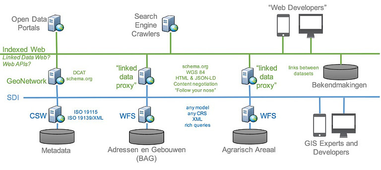
- Complex machinery/architectures (e.g. ldproxy) for services to be crawlable
- Challenging for web developers to implement
- Challenging for mainstream web integration (search indexing)
- Geonovum testbed showed OGC world can easily be made crawlable, and crafted LDProxy
REST/JSON/OpenAPI/ Swagger
REST
- REpresentational State Transfer (REST)
- HTTP verbs (GET/PUT/POST/DELETE)
- HTTP codes (200, 201, 404, etc.)
- Uses URI to identify resources
- Content negotiation (media types)
- Stateless
JSON
- JavaScript Object Notation
- Easy to write and understand
- Very popular among web developers
- JSON is first class in RESTful web services
- No rigid standards (for better or worse)
OpenAPI
- Specification on how to describe a REST API
- Defines endpoints, request parameters, response
- Programming language agnostic
- Formerly Swagger
Swagger
- OpenAPI client tooling
- Robust, web developer focused
- Automated documentation, testing, code generation
OGC activity
W3C Spatial Data on the Web Best Practices (2017)
- Recommendations on formats, identifiers, access, licensing, provenance
- Being webby
- https://www.w3.org/TR/sdw-bp
Design patterns
- Being webby (humans, search engines)
- Developer friendly
- Lightweight specification development
- Removing HTTP use as a tunnel
/ows?request=GetFeature&typename=roads&featureid=5- /api/collections/roads/items/5
-
Modular specification development
- Core and extensions
Timeline
- 2017: W3C Spatial Data on the Web Best Practices
- 2017: OGC API Whitepaper
- 2018: WFS3 Hackathon, Weather on the Web API Hackathon
- 2019-2020: OGC API Hackathons
- OGC API Roadmap
Future OGC standards
- OGC API - Common (OWS Common)
- OGC API - Features (WFS)
- OGC API - Coverages (WCS)
- OGC API - Maps (WMS)
- OGC API - Tiles (WMTS)
- OGC API - Processes (WPS)
- OGC API - Records (CSW)
- OGC API - Styles (SE/SLD)
OGC activity on GitHub
- webby
- Specification development
- Issue tracking/discussion/collaboration
- Standards written in AsciiDoc (!)
- Standards released as HTML (!) or traditional PDF/etc.
- Gitter chat
Say hello to pygeoapi
 A Geopython project
- Created by Tom Kralidis in 2018 on Valentine's Day with ❤️
- OSGeo Community Project
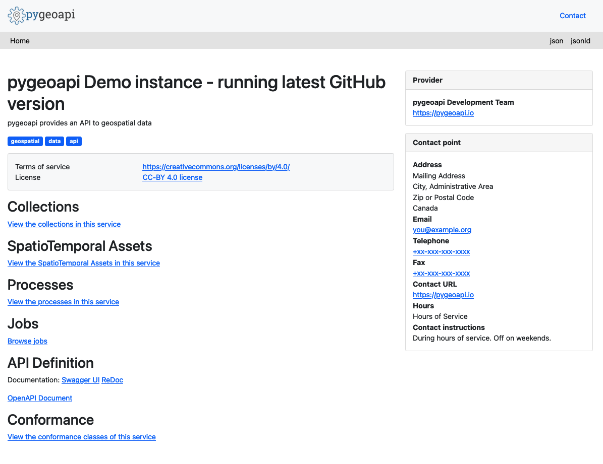
Project Overview
- Geospatial data API framework
- OGC Compliant (already!)
- OSGeo Community Project
- International team (Canada, Netherlands, Greece, Italy, New Zealand)
- Numerous core contributors
- 21000 upstream contributors (dependencies)
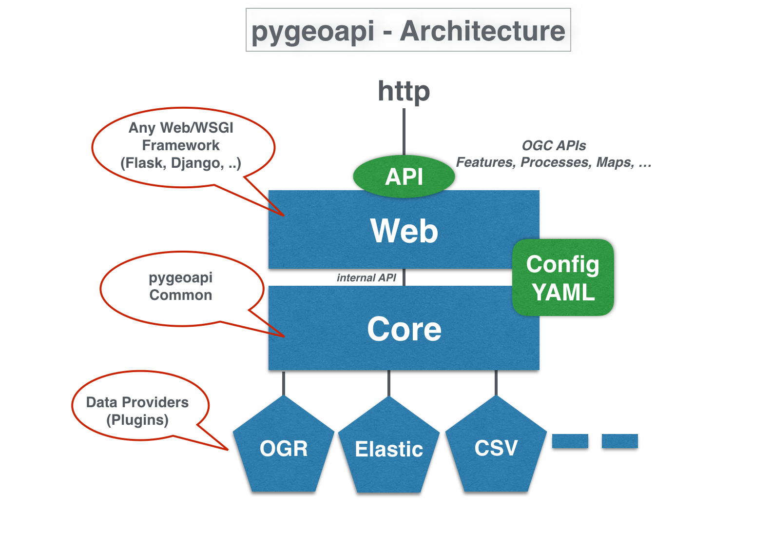
Technical Overview
- Publishing (leaves data pristine/alone)
- Fits to the data (not the inverse)
- Leverages powerful ecosystem of Python packages
Technical Overview
- Core abstract API; web framework agnostic (default Flask)
- YAML configuration (metadata, dataset connections
- Automated OpenAPI document generation (data binding)
- Robust plugin framework (data connections, formats, processing)
- Easy deployment (pip install, Docker, conda, UbuntuGIS)
- Minimal dependencies
Feature Data Providers
 |
 |
 |
|
| Elasticsearch | CSV | Spatialite* | GeoJSON* |
* also via GDAL-OGR Provider
Feature Data Providers - GDAL/OGR
- Via OGR-Python bindings
- Unleashes ~100 Vector Formats! (WFS 1/2, GeoPackage, Shapefile, GeoJSON, PostGIS, ...)
- Paging, reprojection, spatial/attribute query
- Unlock existing WFS 1/2s!
Coverage Data Providers
 |
 |
| xarray | rasterio |
- NetCDF, Cloud Optimized GeoTIFF (COG)
Tile Data Providers
 |
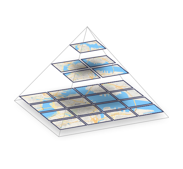 |
| minio | ZXY directory tree |
- MapBox Vector Tiles via tippecanoe
schema.org
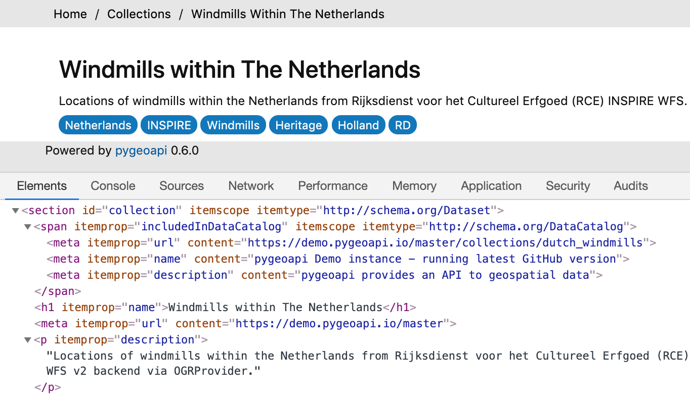
- Lower the barrier to data search
- HTML encoding is annotated as schema.org/Dataset to facilitate search engines
- Google dataset search locates pygeoapi datasets
Linked Data - JSON-LD
- JSON-LD provided as additional representation
- Default out of the box functionality for most pygeoapi resources / endpoints
- Additional configuration
Core Capabilities
OpenAPI
OGC API - Features
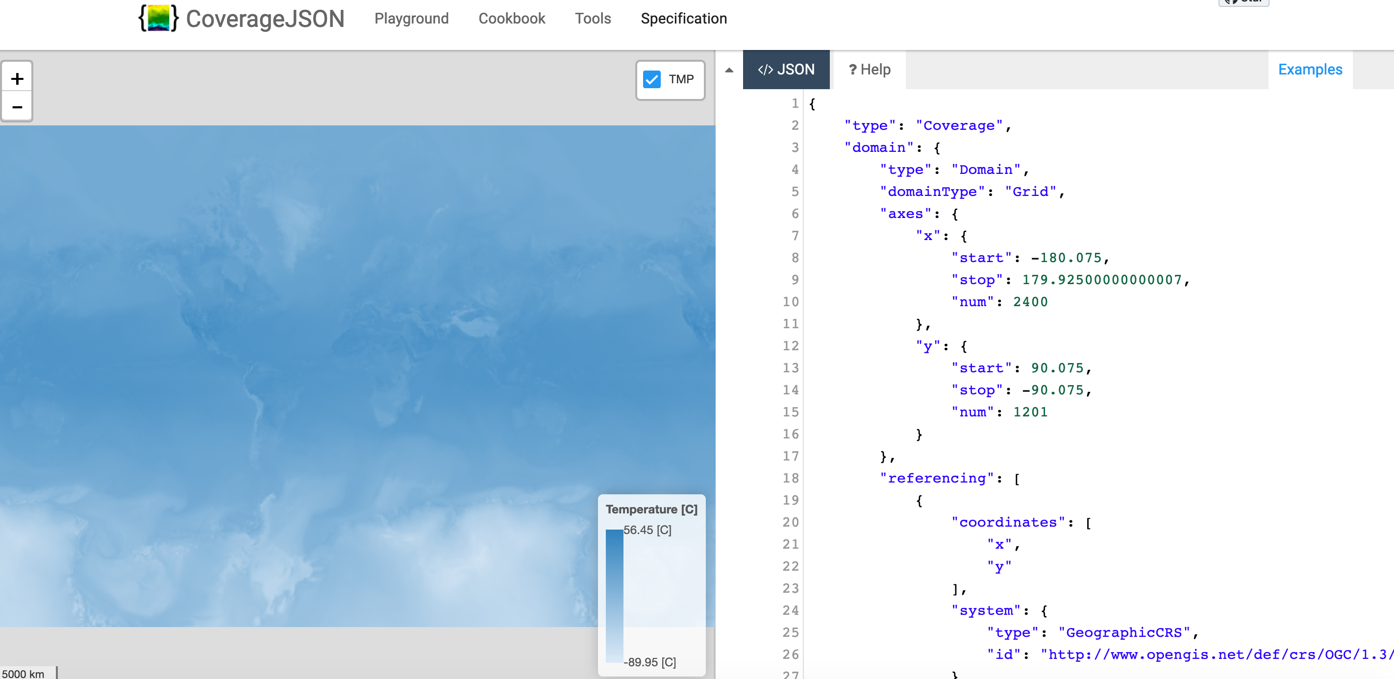
OGC API - Coverages
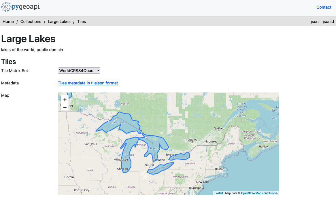
OGC API - Tiles
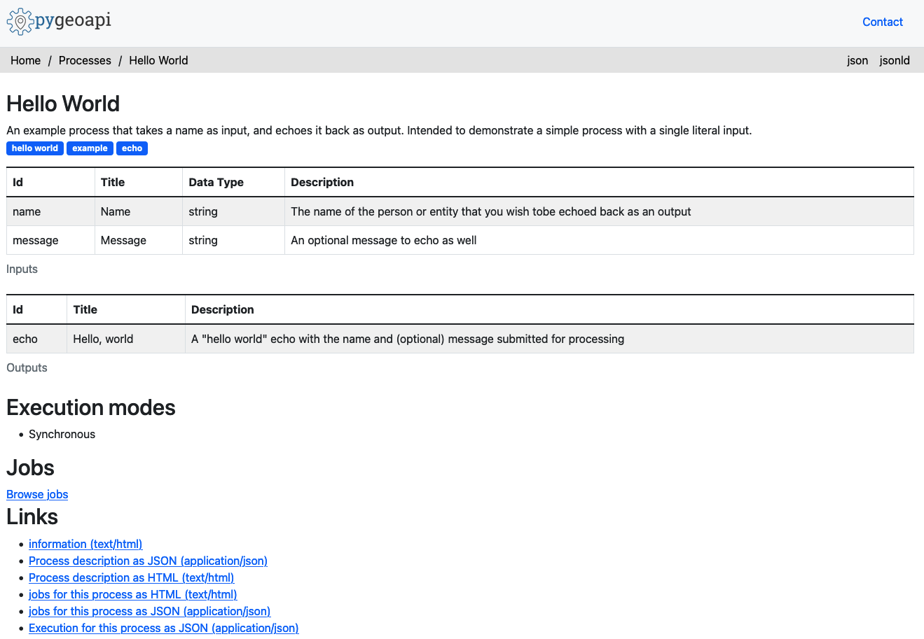
OGC API - Processes
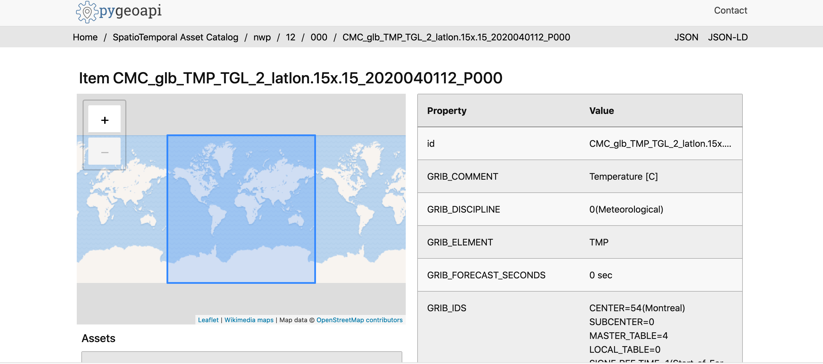
SpatioTemporal Asset Catalog (STAC)
Deploying
Packaging
Numerous deployment options
- PyPI
- UbuntuGIS
- Docker
- Conda
- FreeBSD
- Coming to OSGeoLive
Docker overview

- pygeoapi Docker Images on DockerHub
- Images create Linux containers running content
- Use Docker Images to test locally or deploy in server
Docker options
- Custom config via Docker Volume Mapping
- Run with Docker Compose
- Subpath running via Flask
SCRIPT_NAMEenvironment variable - Examples
Scaling pygeoapi
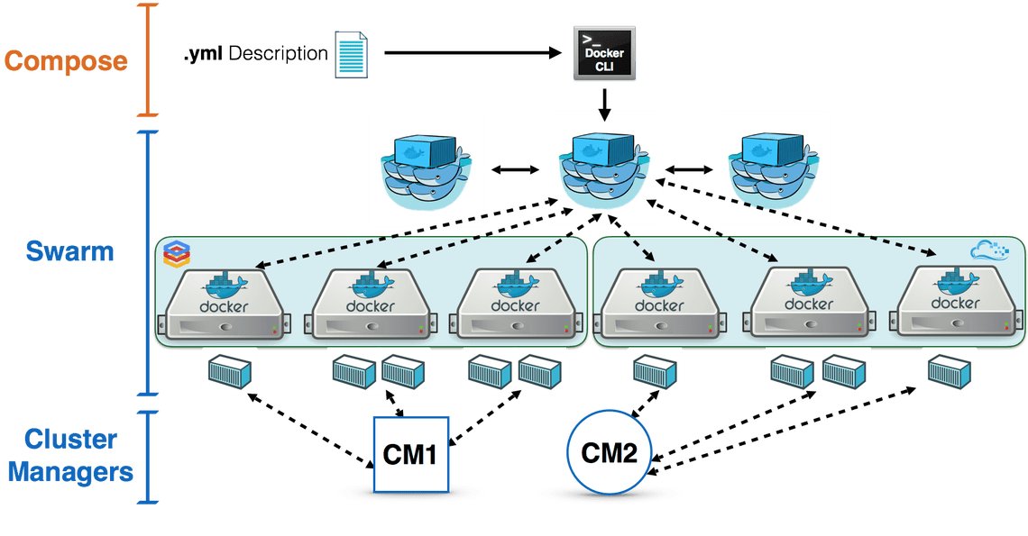 Cloud clustering with high availability
Production instances
Canada
Meteorological Service of Canada GeoMet platform
- OGC web services platform of Canadian weather, climate and water data
- Realtime weather
- Numerical weather prediction
- Hydrometric and Climate archives
MSC pygeoapi implementation
GLOSIS - Global Soil Information
- Global soil information system under development by FAO and ISRIC
- Using pygeoapi as an external API providing OGC API - Features
- Testbed for JSON-LD for soil data distribution
- https://glosis.isric.org/ogc
Roadmap
Roadmap
- More OGC APIs: Maps, Records, Styles
- OGC API Improvements: Processes management
- More data providers
- Advanced filters (CQL)
- Transactions
- Content negotiation (e.g. Response as GeoPackage, GML,...)
- OSGeoLive
OGC API - Records
- Initial implementation currently in development with specification
- Development team part of OGC API - Records SWG
- Plan to use pycsw backend (PostgreSQL-based)
- Users will be able to update a single backend and have both CSW and OGC API - Records support
- Dependency strategy to be determined (e.g. pygeoapi may become pycsw dependency to support OGC API - Records)
Django app
- Django application project
- django_app folder next to
flask_app.pyandstarlette_app.py urls.pywith routesviews.pywith the binding of pygeoapi core API into the process of Request/Responsesettings.pywith the pygeoapi configuration path- Add
--djangooption to the cli command to serve the usual Django server - Make the Django app reusable
- Challenges:
- Use DRF serializers
- Inject generated OpenAPI document into drf-spectacular
- Inject Jinja2 templates or use Django templates natively
- https://github.com/geopython/pygeoapi/issues/586
GeoNode integration
- Next generation GeoNode API GNIP-51
- New v2 GeoNode REST API has been merged into master: GNIP-79
- Discussion needed to determine how GeoNode could use pygeoapi as a backend:
- Metadata (Resource base model -- similar to pycsw GeoNode integration)
- Direct Elasticsearch integration
- For OGC API Features, Maps, Styles, Tiles, Coverages (similar to GeoServer and QGIS Server)
- How would auth work in this case?
Support
Need support for WFS3.0???
GeoCat can help you

Links
Thank you!
@tomkralidis @JMendesDeJesus @normanbarker @perrygeo @justb4 @pvgenuchten @tzotsos @alpha-beta-soup @francbartoli